Mt. Defiance-Starvation Ridge Loop Hike
-Trail Name: Mt. Defiance to Starvation Ridge Loop
-Enter/Exit Point: Starvation Creek Falls Day Use Area
-Trail Type: Lolipop
-Difficulty Level: Very Difficult due to distance and elevation
-Distance: 12.5 Miles
-Elevation: 5000’
-Guide: https://www.oregonhikers.org/field_guide/Mount_Defiance-Starvation_Ridge_Loop_Hike
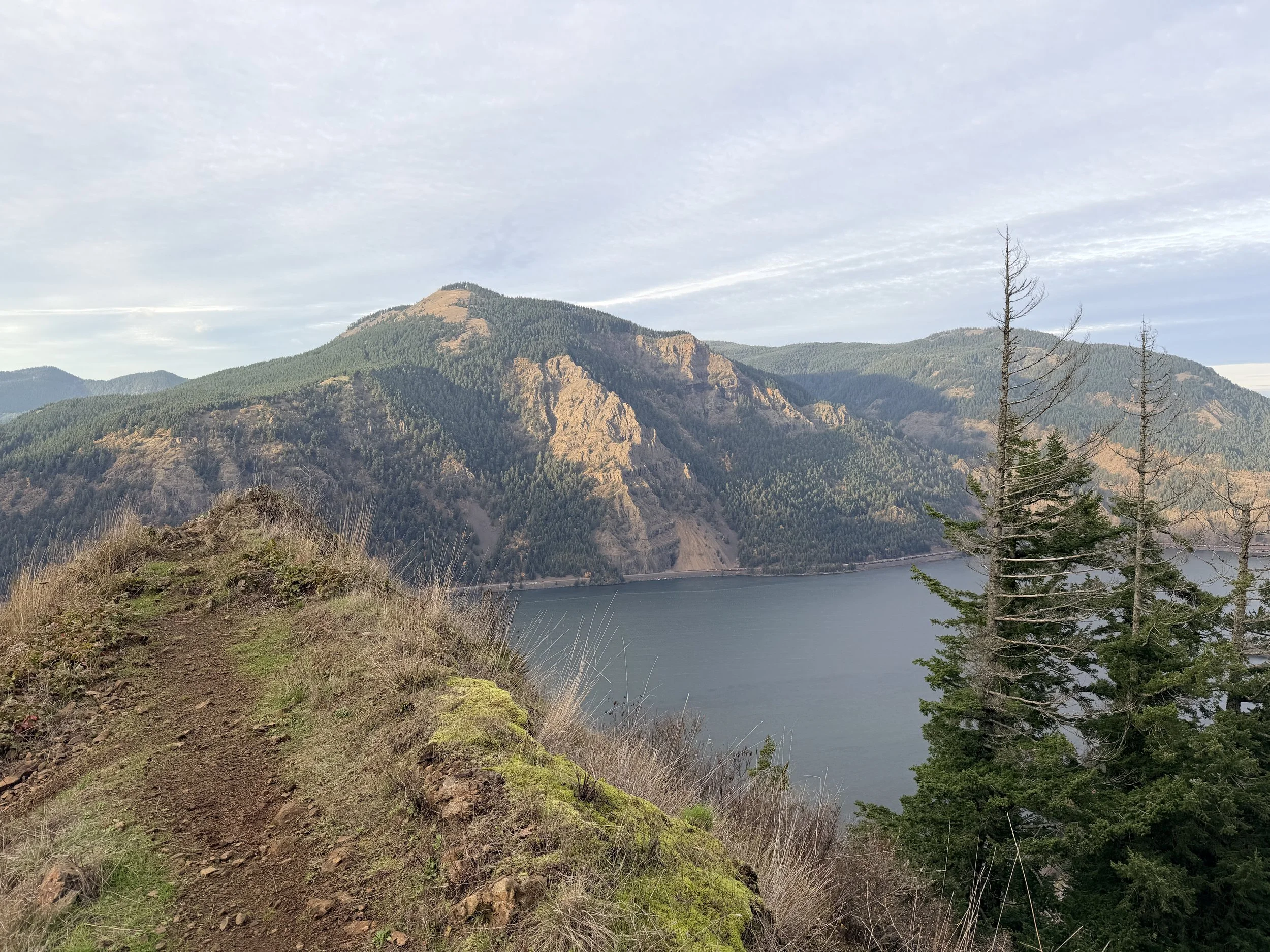
-Review: Mt. Defiance is the tallest peak in the Columbia River Gorge. For years I have seen it off in the distance as you drive through the area. It is easy to spot with its electronic towers looming tall and is typically the last peak in the area with snow on its north facing slope.
After hearing about my friends completing the Triple D Challenge years ago (dog mountain, Mt. Defiance and Devils Rest) where you hike all 3 in one day I decided I was not up to that task but wanted to hike all 3 in one season. After completing Dog Mountain and Devil’s Rest over the Summer, I chose to hike Mt. Defiance in early November before the snow actually settled in making it much harder.
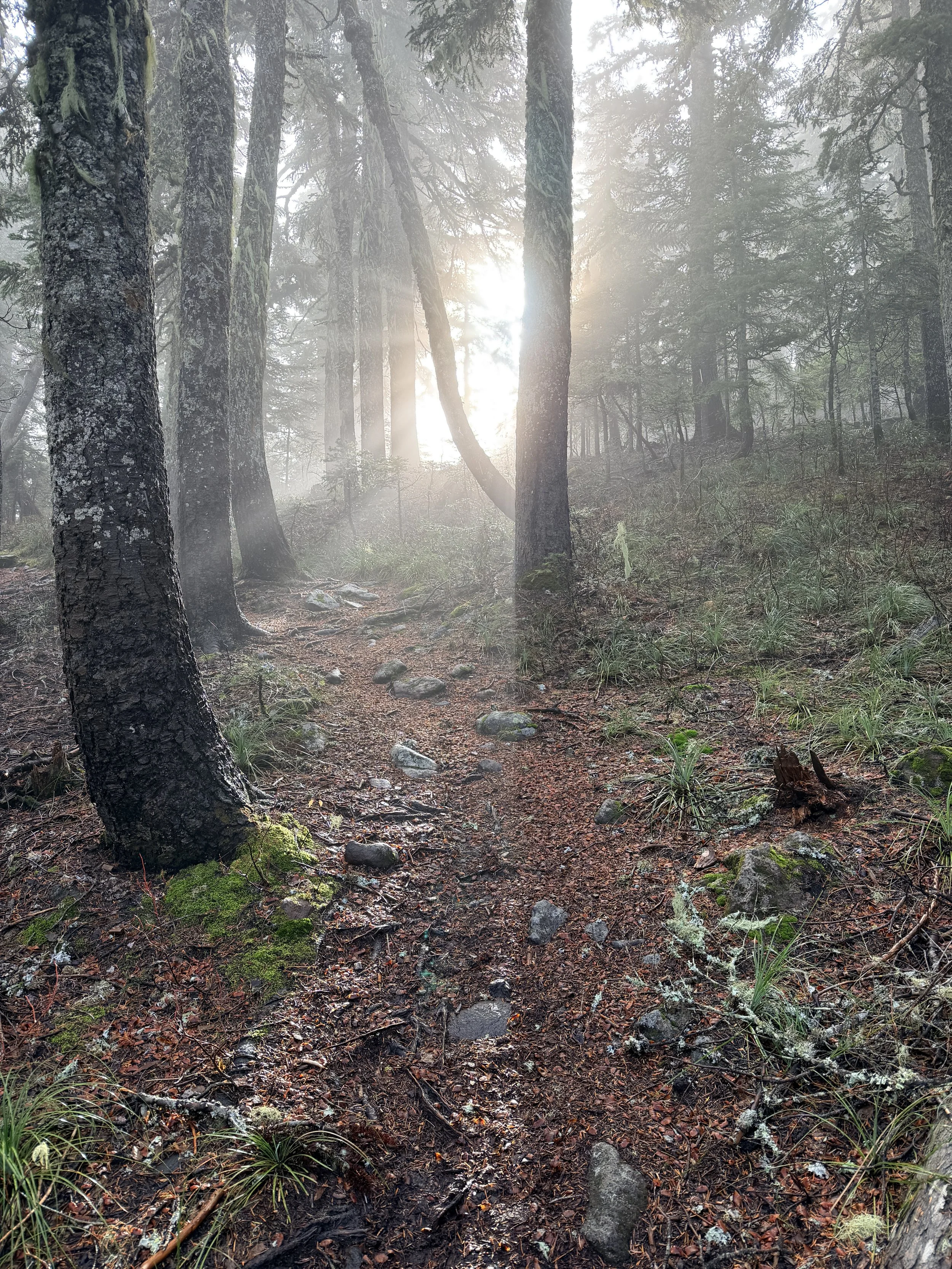
I knew Mt. Defiance packed a lot of elevation but I had hiked 5000’ gains over the summer and felt up to the challenge. I was wrong! The first .75 miles of the trail follow a paved path that parallels highway 84. You then turn off at Hole-in-the-wall Falls and begin climbing. You do not stop climbing until roughly mile 5.5. Because of the elevation I required frequent stops and drank nearly 2L of water by the time I made it to the top despite the temps being in the 40’s. There were small patches of snow at the top and I was fogged in on all sides so I did not get the oft mentioned 360 views. Thankfully I was able to see Mt. St. Helens and Mt. Adams a few times as I had made my climb up.
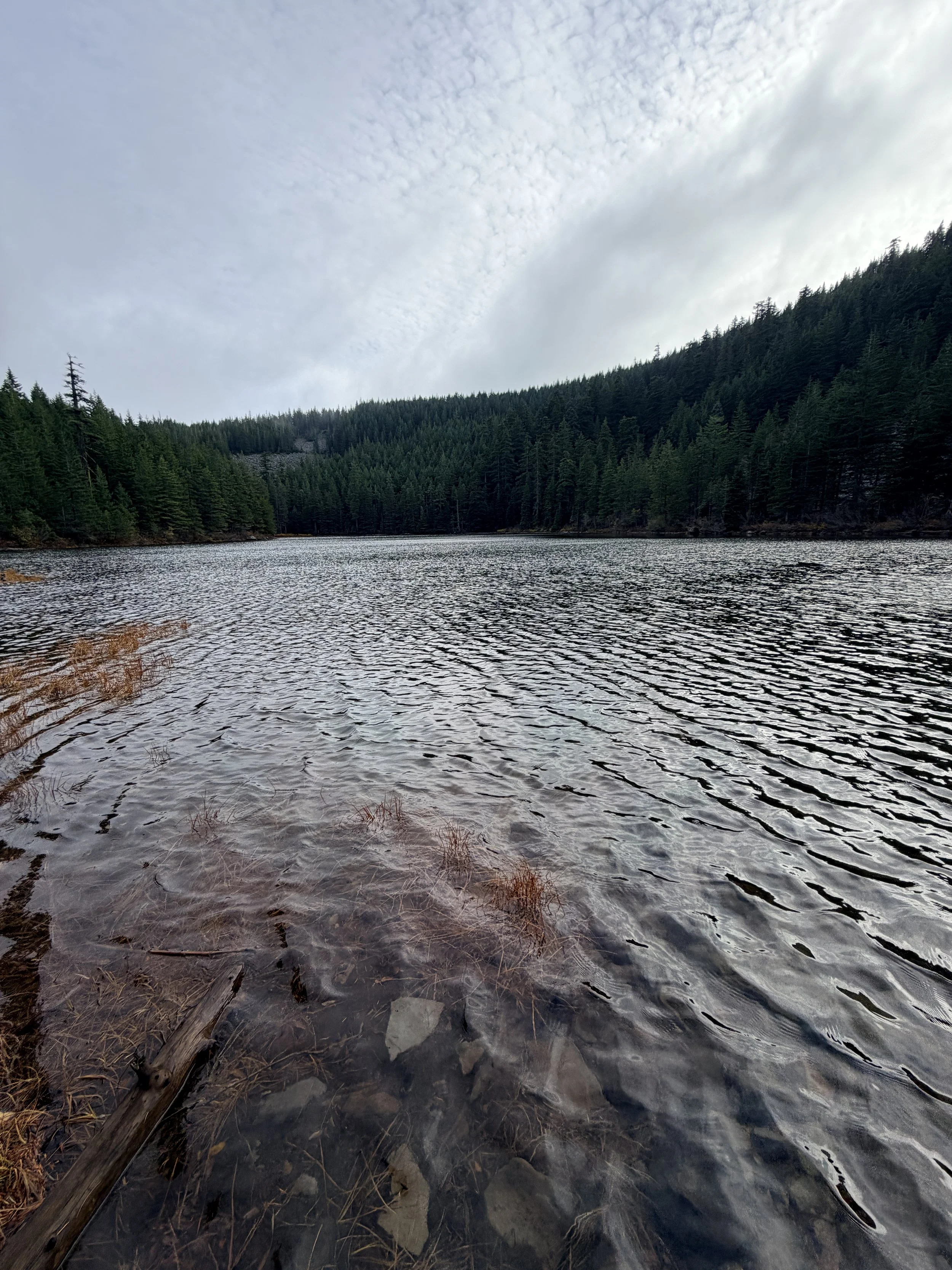
From the summit you hike less than a mile back down to the connector toward Warren Lake where you can take a load off and filter water for your hike down. The Starvation Ridge section is almost a mile longer than you climb up and due to the steep descent it took me almost as long to climb down as it had to climb up. The path at this point was often covered in duff and was a welcomed cushion from the often rock and steep sections that frequent this trail. In November the leafs were slick on the ground and I was very happy to have my trekking poles to maintain my balance.
Once you come into view of the Columbia River again, you will make a steep descent down to Cabin Creek. Sadly you will have to climb a few hundred feet of elevation, just to descend back down) which nearly broke me as I knew there was not much milage left but my will and sunlight were quickly fading at this point. Eventually I passed a bridge over a creek and turned on my headlamp to illuminate my hike the remaining mile back down to the car. A QR code did provide access to a $10-12 parking pass (depending on if you are an Oregon resident or not) but signage at the parking lot is not very clear. This is a popular trailhead during the summer months so come early and avoid parking along the shoulder area. If you are wanting a butt kicker of a training hike, this may be the trail for you. If you want to see the beautiful 360 views at the top, maybe just borrow someones 4x4 and drive the road to the top on a clear day. Cheers!
-Rating: Gram it. Or don’t. It’s a butt kicker!
Rating Guide:
-Gram it: Check out the pictures on Instagram because this one is not worth seeing in person
-Hike it: It’s short and sweet. Might as well knock it out in a day
-Bag it: Pack a bag and spend the night
-Bring a friend: Easy enough to bring a friend. Maybe this is where you can introduce someone to backpacking.
-Come Back: I will keep doing this trip it’s so good.
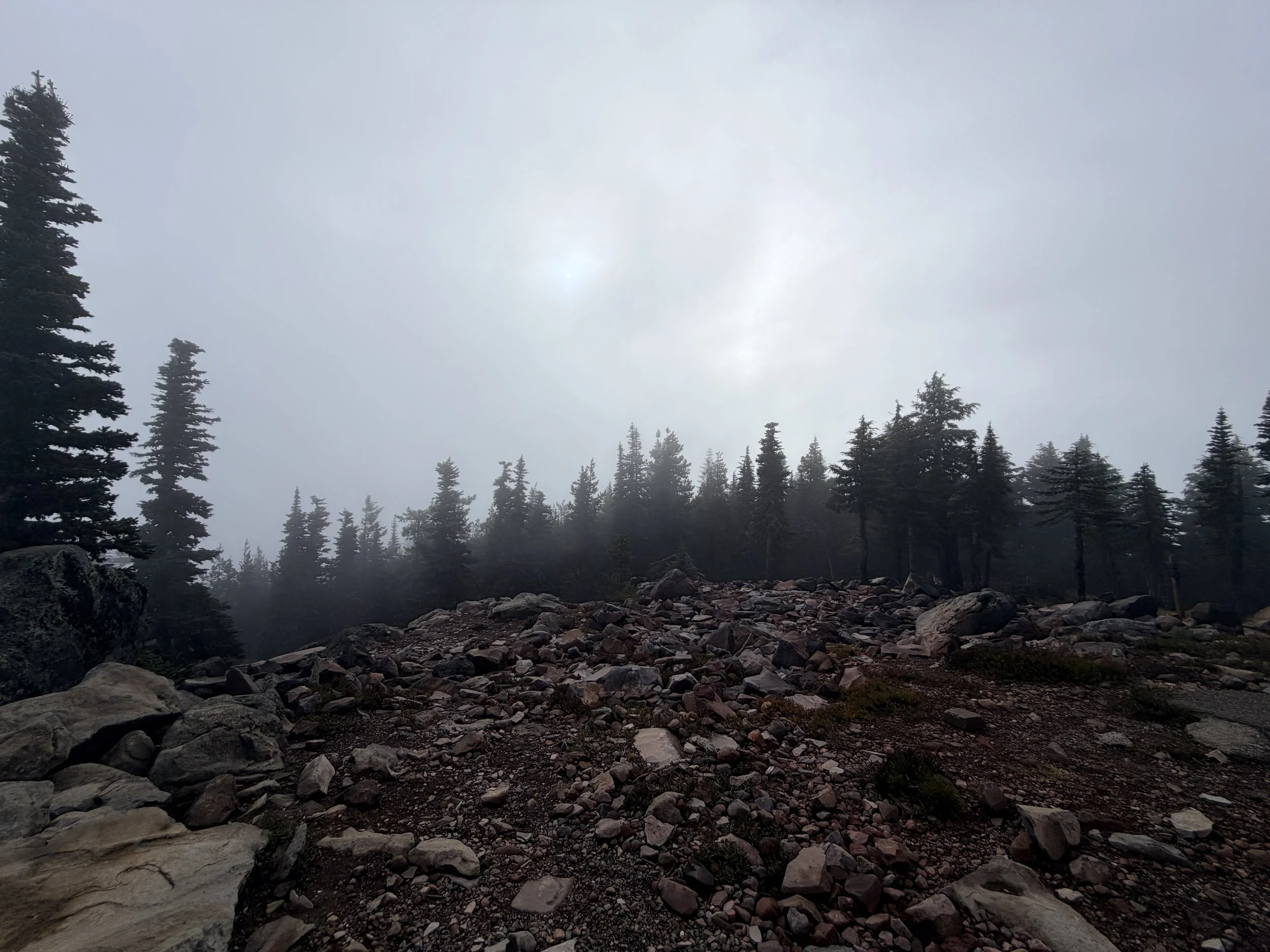
A view from the foggy summit of Mt. Defiance