Klickitat River Trail Day Hike
-Trail Name: Klickitat River Trail from Lyle to Klickitat
-Enter/Exit Point: Klickitat River Trailhead Lyle
-Trail Type: Point-to-point or in-and-out
-Difficulty Level: Difficult due to milage
-Distance: 13.25-26.5 depending on point-to-point or in-and-out
-Elevation: 600 feet
-Guide: https://www.oregonhikers.org/field_guide/Klickitat_Trail:_Lyle_to_Klickitat_Hike
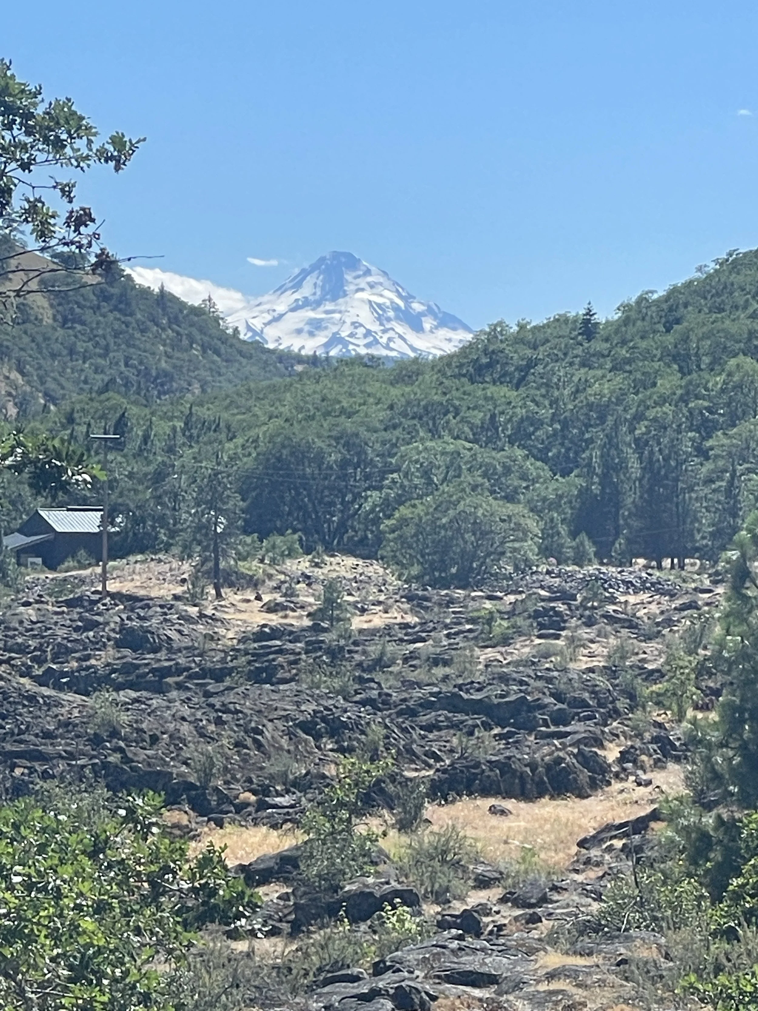
-Review: The Klickitat River Trail is a multiuse trail that has various trail heads and lengths. It is typically gravel but occasionally has dirt and pavement. I hike it from the Lyle Trailhead near the rivers mouth at the Columbia up to the town of Klickitat where we took a 10 minute break and grabbed some food and drinks at the local grocery store before heading back to Lyle. There are a handful of river access points along the trail and at least once it crosses a stream that could be used to filter water. The views vary from semi-dense forest to sweeping river views and then plenty of trail along the highway.
This trail is probably best for mountain biking unless you are trying to train for a trail race or a long distance hike. Cheers!
-Rating: Gram it.
Rating Guide:
-Gram it: Check out the pictures on Instagram because this one is not worth seeing in person
-Hike it: It’s short and sweet. Might as well knock it out in a day
-Bag it: Pack a bag and spend the night
-Bring a friend: Easy enough to bring a friend. Maybe this is where you can introduce someone to backpacking.
-Come Back: I will keep doing this trip it’s so good.